
The American Southwest Road Trip: A Route-by-Route Planning Resource
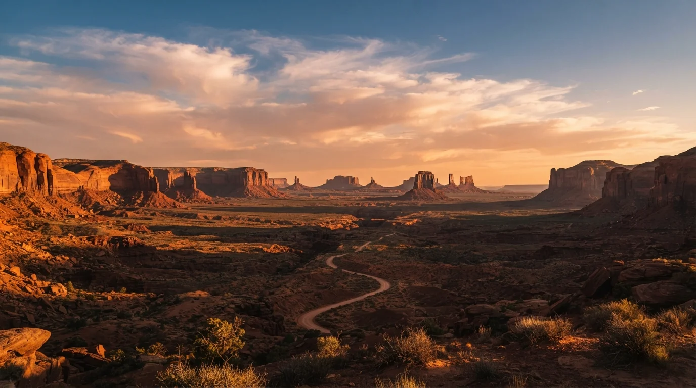
Photo credit: SyndicateExpert.com | Information At The Ready
In this article
From the Grand Canyon to Monument Valley and beyond, this reference covers the key routes, distances, and stops across the Southwest desert.
How to Use This Planning Resource
The American Southwest is one of the most rewarding and logistically complex road-trip regions in the country. Distances between major landmarks are real — sometimes 200 miles of open desert separate one iconic viewpoint from the next — and conditions ranging from extreme heat to high-altitude snow can shift the experience dramatically by season. This resource is organized by route corridor so you can match your starting point, available days, and must-see priorities to the right driving sequence.
Before diving into specific routes, it helps to settle two foundational questions: your gateway city and your trip length. Las Vegas, Phoenix, Albuquerque, and Salt Lake City are the most common launching pads. Each connects naturally to different subsets of the region. If you're still weighing how to structure your days, the trip itinerary guide offers a practical framework for balancing big stops with realistic driving time.
| Most common gateway cities | Las Vegas, Phoenix, Albuquerque, Salt Lake City |
| Grand Circle approximate mileage | 1,000–1,200 miles |
| Utah's Mighty Five parks | Zion, Bryce Canyon, Capitol Reef, Canyonlands, Arches |
| Permit platform for national parks | Recreation.gov (plus individual park sites) |
| Typical fuel gap in remote areas | 80–100 miles between stations |
| Recommended minimum trip length (Grand Circle) | 7 days; 10–14 days ideal |
Core Route Corridors at a Glance
The Grand Circle (7–14 Days)
The Grand Circle is the definitive Southwest loop, connecting the highest concentration of national parks anywhere in the U.S. A standard clockwise version from Las Vegas runs: Las Vegas → Zion National Park → Bryce Canyon → Capitol Reef → Canyonlands/Arches → Monument Valley → Grand Canyon South Rim → Las Vegas. Total driving distance is roughly 1,000–1,200 miles depending on detours. Allow at minimum seven days; ten to fourteen days lets you actually hike, not just photograph, each stop.
The Arizona Loop (4–7 Days)
Starting from Phoenix or Flagstaff, this compact route covers: Flagstaff → Sedona → Grand Canyon South Rim → Monument Valley → Petrified Forest/Painted Desert → back to Phoenix via Globe or Show Low. Drive distance: approximately 700–800 miles. This is an excellent option for first-time Southwest visitors or shorter vacations.
New Mexico's High Desert Route (3–5 Days)
Often overlooked, New Mexico rewards slow travel. A core drive from Albuquerque runs: Albuquerque → Santa Fe → Taos → Bandelier National Monument → White Sands National Park → El Paso (optional). Total mileage is around 500–600 miles. White Sands requires advance timed entry permits, which vary by season — verify directly with the National Park Service before your trip.
Utah's Mighty Five (5–8 Days)
Utah's five national parks — Zion, Bryce Canyon, Capitol Reef, Canyonlands, and Arches — form a logical north-to-south or south-to-north corridor of roughly 500 miles. Moab serves as the natural base for Canyonlands and Arches. The end-to-end road trip resource covers pacing and vehicle prep that applies here, especially for the remote stretch between Capitol Reef and Bryce.
Seasonal Conditions, Permits, and Practical Notes
Timing matters enormously in the Southwest. Spring (March–May) and fall (September–November) offer the most comfortable temperatures at most elevations. Summer brings brutal heat in lower canyon areas — Grand Canyon inner gorge and Zion Narrows can exceed 110°F — but higher-altitude parks like Bryce Canyon and Cedar Breaks remain pleasant. Winter closures affect some scenic drives and can make high-elevation roads impassable; always check road conditions through state DOTs and the National Park Service before travel.
Permits and reservations have expanded significantly at popular parks. Zion Canyon requires a shuttle reservation during peak season. Arches has timed entry permits. The Wave at Vermilion Cliffs is a lottery system. None of these should be assumed available at the gate — check the Recreation.gov reservation system and each park's official site well in advance.
Cell service is unreliable or absent across large stretches, particularly on the Navajo Nation and in rural Utah. Download offline maps, carry a paper backup, and file a travel plan with someone at home if venturing onto remote roads. For solo travelers, the solo travel planning guide addresses safety logistics worth reviewing before you set out alone in high-desert terrain.
Fuel planning is non-negotiable. Gaps of 80–100 miles between gas stations are common. Fill the tank whenever it dips below half, and note that some small-town stations only accept cash. If you're still deciding whether driving makes sense for your trip at all, see the road trip vs. flying comparison for a grounded cost-and-comfort breakdown.
Grand Circle
An informal name for the roughly circular network of national parks, monuments, and scenic highways in the Four Corners region of Utah, Arizona, Nevada, and Colorado. It encompasses the highest concentration of national parks in the U.S.
Timed Entry Permit
A reservation required to enter certain high-traffic national parks or trails during peak periods. Timed entry systems are managed through Recreation.gov or individual park websites and must be secured before arrival.
Four Corners
The geographic point where Utah, Colorado, Arizona, and New Mexico meet — the only place in the U.S. where four states share a single boundary point. It serves as a navigational reference for Southwest road trippers.
Navajo Nation
The largest Native American territory in the U.S., spanning parts of Arizona, Utah, and New Mexico. Monument Valley and many scenic roads pass through it; visitors should follow Navajo Nation rules, including any permit requirements for specific sites.
Scenic Byway
A federally or state-designated road recognized for exceptional natural, cultural, or recreational qualities. The Southwest has several, including Highway 12 in Utah, often cited among the most scenic drives in the country.

Author
Travel & Trips Editorial Team
Travel & Trips Editorial Team is the collective byline for our editorial team and contributor network. Articles published under this byline or an editorial pen name are researched, written, and reviewed according to our editorial standards for clarity, consistency, and independence before publication.
View all articles →